

In 1975 voters in one of the country’s fastest-growing counties faced a fork in the asphalt.
They pondered the construction of three large flood-control reservoirs as part of a $200 million flood-control plan for the Blue River basin presented by the U.S. Army Corps of Engineers.
If the proposition had been approved, three lakes today would cover much of suburban Johnson County’s grid of streets, sidewalks and sundry impervious surfaces that residents now take for granted.
In this alternative reality, water would cover much of modern Leawood, as well as portions of Overland Park and Olathe. The county might well be known for its pristine lake communities as much as office parks and shopping centers.
Much of the retail and restaurant cluster just northeast of 119th Street and Roe Avenue – immediately east of Leawood’s Town Center Plaza – would be underwater. Some of the western-most homes in Hallbrook could almost be considered lakefront properties. To the west, along Quivira Road, students at Johnson County Community College and the University of Kansas Edwards Campus could be distracted by the same sailboats.
Spoiler alert: voters didn’t approve this ballot measure. What needed only a simple majority for approval didn’t even achieve 40 percent approval. So none of the above scenarios occurred.
Today, the proposition represents an alternative Johnson County history that few can recall or imagine. The outcome also reflects how invisible political boundaries – and how they allocate costs and benefits – shape public policy decision-making for the broader metropolitan area.
Still, almost 45 years ago, voters considered the complicated issue.
They learned how the Blue River basin, which straddled the Missouri-Kansas line, drained about 272 square miles – about 56 percent of which in Johnson County, with the remainder in Jackson and Cass counties in Missouri.
Streams like Indian and Tomahawk creeks fed the Blue River, which originated in southern Johnson County and flowed northeast, entering Missouri near 151st Street and winding further to the north and northeast, past Swope Park and through several industrial lowlands before discharging into the Missouri River just northwest of Sugar Creek.
High Water
The river’s legacy of floods reached at least back to the 1920s.
After a 1961 storm, water rose around 200 homes in east Kansas City, prompting the evacuation of hundreds of residents. One person died. Sixty employees of a wire rope plant on Manchester Trafficway rode boats to dry land, and water covered the floors of the General Motors plant in the Leeds district. Meanwhile, to discourage looters, members of the Missouri National Guard deployed to a trailer court on East U.S. 40.
After the water receded, city and county officials approached the Corps of Engineers for a flood control strategy. That plan, authorized by Congress in 1970, included the “channelization” – the clearing and enlarging – of much of the Blue River in Missouri.
It also included those three upstream reservoirs, or lakes, in Johnson County, as well as a fourth tucked into the extreme northwest corner of Cass County, in Missouri.
Officials soon announced the reservoirs’ locations:
- The Indian Lake reservoir would stretch from west of 127th Street and Pflumm Road northeast to Quivira Road and 119th Street, an intersection that would be underwater. The lake would be visible from southern-facing windows at Johnson County Community College – which had opened in 1972 at the intersection of Quivira Road and College Boulevard – as well as from the University of Kansas Edwards Campus, which opened at 127th and Quivira 20 years later
- The Wolf-Coffee Lake reservoir – with fingers covering Coffee Creek to the north and Wolf Creek to the south – would stretch from a dam just northwest of U.S. 69 and 179th Street, with both branches reaching close to Pflumm Road to the west.
- The Tomahawk Lake reservoir would stretch northeast from about 135th Street and Metcalf Avenue to well north of Mission Road and 119th Street. This lake would prove the most controversial, as it would divide much of Leawood.

After these locations were announced, “a small group of officials, landowners and land developers protested,” according to Steven L. Driever and Danny M. Vaughan in a 1988 article in The Geographical Review.
The arguments both for and against the lakes soon coalesced around a levy proposition on the April 1, 1975 ballot.
Voter approval would authorize a levy of 20 cents on each $100 of assessed valuation that would finance half the cost of recreational facilities on the three proposed lakes, with the feds paying the other half.
The tax would be levied for 50 years and raise an estimated $64 million.
But while the actual ballot language concerned facilities like boat ramps and camping sites, both opponents and supporters considered the proposition a referendum on the lakes themselves.
“Moral Responsibility”
The loss of taxable land would cost Johnson County municipalities millions every year, opponents argued.
“We question the moral responsibility of Johnson Countians to support Jackson County flood control to the extent of increasing our taxes, damaging the economic well-being of the city of Leawood, Kansas, and depriving Johnson County of millions in tax revenues each year when the beneficiaries are not prepared to help themselves,” V. M. Dostal, a former Leawood mayor, said during a 1973 public hearing at Shawnee Mission South High School.
Dostal told a different audience that the 1961 Blue River flood left $11 million in damages across the Kansas City area, but only about $50,000 of that damage had occurred in Johnson County.
“Not a cow was lost, not a pig was lost,” Dostal said.
Opponents also mentioned how in 1974 and 1975, Kansas City, Missouri, voters had not approved bond issues for Blue River channelization by the required two-thirds percentage.
Still, many supported the idea.
The need for park land in Johnson County was growing more glaring. In a 1972 report entitled “Happiness is a Green Place,” the Mid-America Regional Council detailed how the Kansas City area, including Johnson County, needed more green places. Approval of the Johnson County reservoir measure, wrote a Kansas City Star reporter, could “provide green oases in the southward movement of concrete, brick and board.”
The proposal represented what The Star called a “true bargain in lakeside parks for a minimal investment.” The levy would cost the owner of a home appraised at $30,000 and assessed at $7,200 only $14.40 a year.
Supporters also noted that some Johnson County residents earned salaries in the industrial districts of the Missouri flood plain.
Ultimately the ballot measure failed, with 21,191 voters opposed with 13,632 in favor.
By 1977 the flood control plan was “dormant,” according to The Star, because of local opposition and the lack of designated federal funds.
Then came the high water of Sept. 12 and 13, 1977.
Down in the Flood
On those dates flooding killed 25 persons and caused $90 million in damages (equal to about $350 million today), much of it on the Country Club Plaza.

Missouri Valley Special Collections, Kansas City Public Library)
After the water receded, Corps of Engineers officials gathered in the parking lot of Village Presbyterian Church in Prairie Village, inspecting the damage done to nearby homes.
Col. Richard L. Curl, district engineer of the corps’ Kansas City office, told reporters the three Blue River basin reservoirs rejected in 1975 would not have held back the high water – at least not during that particular weather event.
“There’s nothing that would have been economically developable that would have helped the Plaza a bit,” Curl said.
“I can’t build a dam in Mission Hills.”
Curl did add that if the heaviest rains had occurred five miles west and two miles south than they had, “the reservoirs would have had an enormous impact.”
If planning for reservoirs had ceased, flooding in the Blue River basin did not.
In 1984 two teenagers spent seven hours hanging onto a street sign on 103rd Street in Overland Park as floodwaters from Indian Creek lapped at their feet.
Days later, after several homeowners told of being flooded out of their homes near 103rd Street during a contentious city council meeting, an Overland Park official reminded them how voters had defeated the three flood-control reservoirs that might have mitigated the damage.
Meanwhile, in 1986, one city development expert recalled how the reservoir proposition had prompted the design of a crucial Johnson County commercial corridor.
Richard Kellenberg told a reporter how planners conceived modern-day College Boulevard in an effort to accommodate the reservoirs being debated during the early 1970s.
If the Indian Creek and Tomahawk reservoirs had been built, he said, they would have hindered the east-west flow of traffic between the Missouri-Kansas state line and Interstate 35.
Accordingly, Kellenberg and colleagues drew up an arterial road to the north of the projected lakes. Overland Park officials were well into the construction of this road when the reservoir proposition failed.
That road eventually became the College Boulevard, a huge boon to the Overland Park tax base.
Watching the River Flow
Even after the 1975 vote killed the corps’ three-reservoir plan for Johnson County, federal engineers continued to consult with Kansas City planners.
Construction began in 1983 on a channel modification project that stretched 12.5 miles from near the Missouri River upstream to 63rd Street.
Workers straightened and widened the river. They replaced four highway bridges and 12 railroad bridges. They removed more than 350 abandoned barrels and more than 10,000 old vehicle tires.
In April 2016, representatives of the Corps of Engineers and Kansas City, Missouri, celebrated the completion of the $286 million Blue River Channel Project.
Meanwhile, the Blue River basin’s lasting legacy of high water and stormwater run-off continues to be addressed.
This past September, workers demolished the strip shopping center on the south side of 103rd Street just west of Wornall Road.
Kansas City purchased the site with funding from obligation bonds approved by voters in 2017 – the same year high water from Indian Creek prompted the dramatic water rescue of two owners of a popular bar and grill.
“We’re going to tear all these buildings down,” said Troy Schulte, former Kansas City city manager, “restore it to green space and hopefully provide a little bit of relief for floods along Indian Creek.”
Flatland contributor Brian Burnes is a Kansas City-based writer.
Reading these stories is free, but telling them is not. Start your monthly gift now to support Flatland’s community-focused reporting.

Related Stories
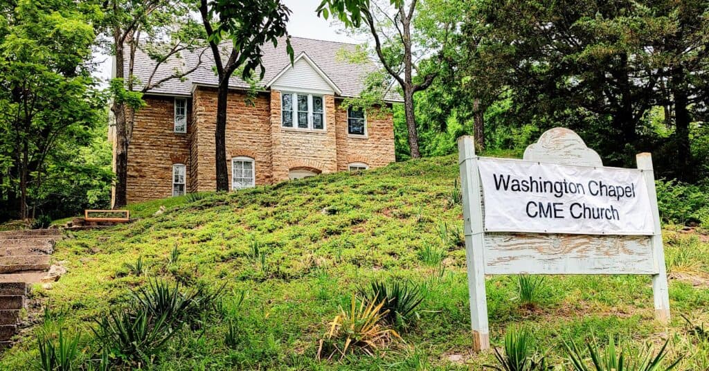
Restoration of Black church in Parkville inspires rainbow coalition
The community has rallied around the restoration of Parkville, Missouri's, Washington Chapel. Built in 1907, the chapel has been a haven for a Black population that has not always been welcome in town.
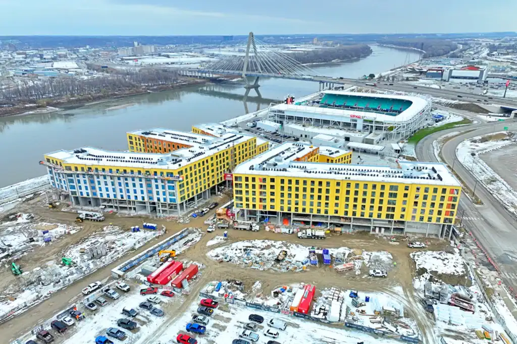
Nick’s Picks | Soccer, Elections, Entertainment and More …
It's a soccer extravaganza in Kansas City, with the city reaching its halfway point as a host city and the City Council set to consider a bond package to expand the Kansas City Current stadium.
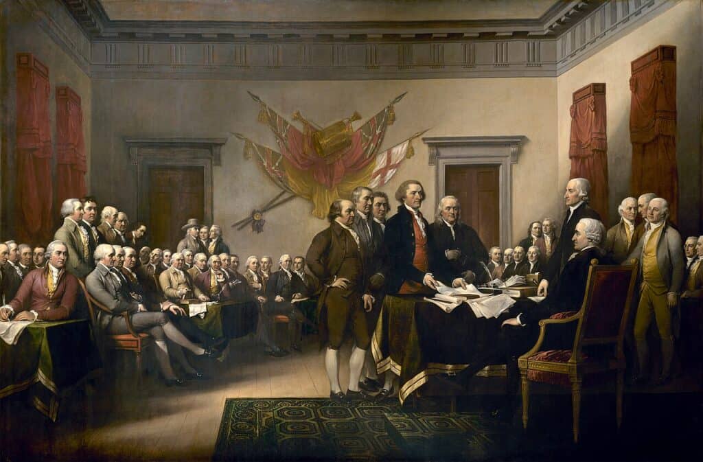
The Declaration at 250: How Expansionism Helped Fuel A Revolution
Animus toward British restrictions on moving westward was one reason Americans sought their independence, though bedrock principles like freedom of speech remain relevant today.